Oh, sorry, I did not yet notice this one :-(

So forget my suggestion.
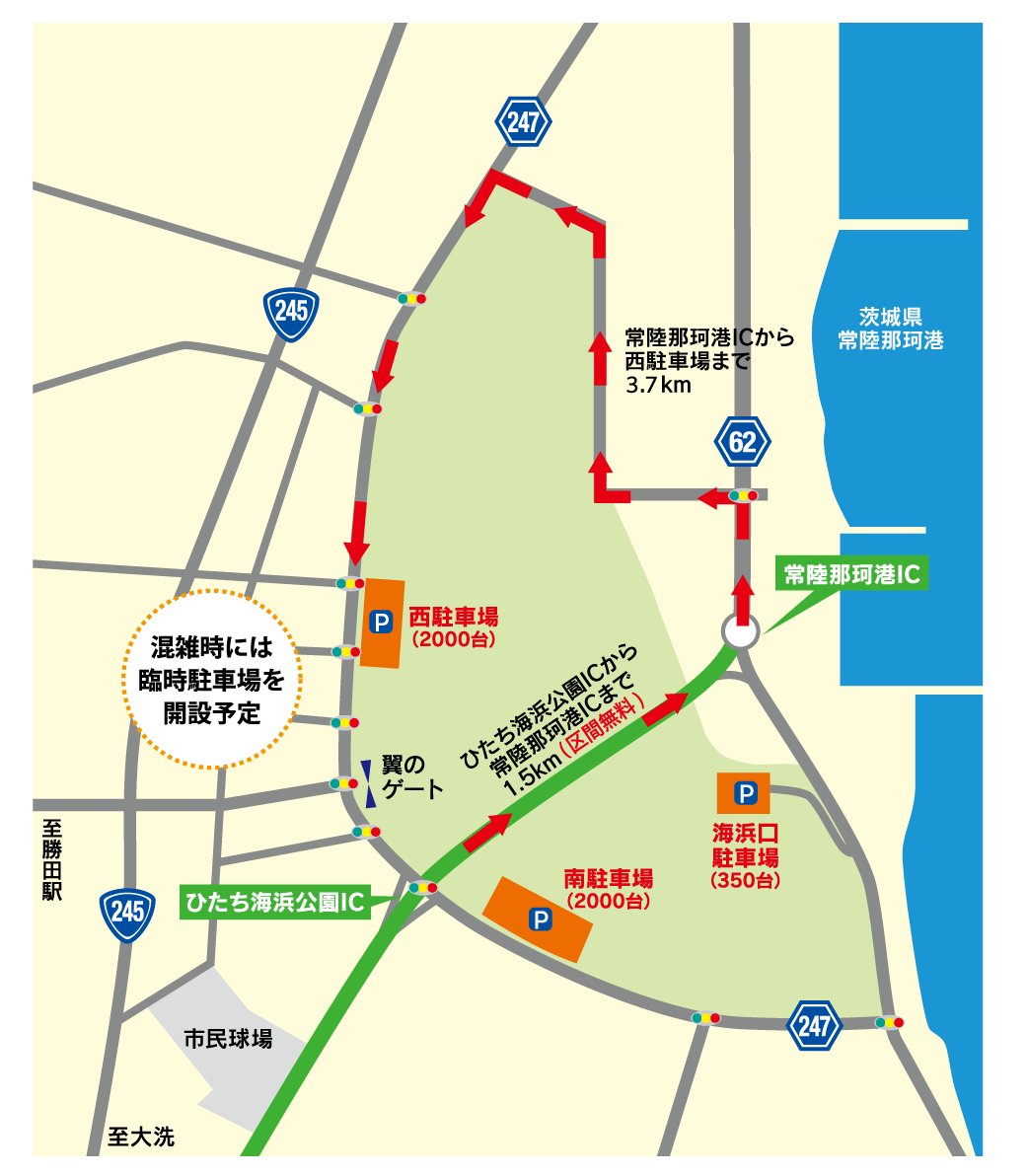
Gerd

________________________________________
Von: Andrew Errington <[email protected]>
Gesendet: Freitag, 6. November 2015 09:35
An: Tag discussion, strategy and related tools
Betreff: Re: [Tagging] Named junctions

We already use junction=yes for named junctions.  Why is another tag needed?

On 06/11/2015, Gerd Petermann <[email protected]> wrote:
> wow, so the problem is much bigger than I expected.
>
> I still think that my suggestion might help to solve the problem.
>
> My understanding so far:
>
> - In Japan (and maybe other countries),
>
> you would prefer to render only those traffic_signals which have a name
>
> - Complex junctions often require several nodes with
> highway=traffic_signals,
>
> at least for the routing.
>
>
> My suggestion place=junction  could be used for all junctions,
>
> maybe in combination with traffic_signals=yes/no to help the renderer.
>
> A special Japanese style would simply ignore unnamed traffic_signals.
>
>
>  Gerd
>
>
>
> ________________________________
> Von: John Willis <[email protected]>
> Gesendet: Donnerstag, 5. November 2015 23:47
> An: Tag discussion, strategy and related tools
> Betreff: Re: [Tagging] Named junctions
>
>
>
>
>
> Javbw
> On Nov 6, 2015, at 1:09 AM, Eugene Alvin Villar
> <[email protected]<mailto:[email protected]>> wrote:
>
>
> I'd suggest to use a node tagged
>
> place=junction
>
> with name=* or ref=*
>
> for this. What do you think?
>
> From what I remember - in Korea they name junctions, and in Japan they
> actually name the signals themselves.
> I know that sounds like the same thing, but people to speak and refer to the
> Signal at the junction, and the name is on the signal, and the iconography
> used is the signal icon. As there are almost no street names in Japan on
> tertiary roads and below, spatial navigation is done through counting
> *unnamed* signals and occasionally using named signals.
>
> The big problem traffic_signals_area
> was trying to solve is the over-rendering of signal icons.
>
> Billboards, pamphlets, and now websites use static images of maps with
> access directions and simplified maps that show how many signals you have to
> drive through before turning and reaching a destination from a known
> landmark (highway exit, train station).
>
> Here is the access map for a very large park.
>
> http://hitachikaihin.jp/wp-content/uploads/2012/03/996e3788561dbe76ffe45257c28c7c25.png
>
> Note the line of signals in a row. Those are there to be counted.
>
> Because of Japan's very old and extremely convoluted road network, it is
> usually not obvious where to turn - so people not using GPS directions
> (actually using a *map*) Rely **very heavily** on accurate and consistent
> placement of street light icons. And OSM is totally broken in this regard.
> Every node gets an icon. Depending on the zoom level, there is 0-1-2-3-4 or
> more icons when just **one** should be rendered. The signal icon is more
> important that almost all place names.
>
> This is something all the Japanese paper maps and online maps follow, and
> Apple/Google also had to add all the icons properly to be useful *as a map*
> in Japan.
>
> Google Maps of the signals in a row. Note 1 named signal has a name box that
> doesn't cover the road.
>
> https://goo.gl/maps/E1hEzfi3iYF2
>
> OSM has no rendered icons.
> http://www.openstreetmap.org/#map=15/36.3967/140.5927
> It has a label for the lights rendered, but no icons.
>
> Next zoom level - label disappears. So no signals, no labels. Ugh.
> http://www.openstreetmap.org/#map=16/36.4009/140.5901
>
> Now icons - but two of them, with label.
> http://www.openstreetmap.org/#map=17/36.40107/140.58986
>
> Next, 4 icons - no label
> http://www.openstreetmap.org/#map=18/36.40160/140.58949
>
> Finally, at z19, I get 4 icons and a label together.
>
> What a horrible job of rendering a single icon with a single label!
>
> This is an ****unacceptable situation****  for the Map in Japan. It
> fundamentally breaks using the map for road navigation for many many map
> users. and since every other map is better at this fundamental necessity of
> Japanese maps, it basically makes OSM an unusable choice in Japan (for
> spatial map usage while driving) and seem unfinished.
>
> Traffic_signals_area was an attempt to solve this, but as this isn't an
> issue in Europe, it was ignored.
>
> Javbw.
>
>
>
>
> Labeling the signal area is just icing on the cake of removing all the
> unneeded icons cluttering the map.
>

_______________________________________________
Tagging mailing list
[email protected]
https://lists.openstreetmap.org/listinfo/tagging

_______________________________________________
Tagging mailing list
[email protected]
https://lists.openstreetmap.org/listinfo/tagging