Paul Norman wrote OSMBorder <https://github.com/pnorman/osmborder> about a
year ago to help with the border drawing. It generates a pgsql table with
line strings (not polygons), each way having the lowest value for the
"admin level". So if a way belongs to both a country and a city border, the
table will have just one way instance, with the lowest admin_level of the
two usages. Also, the polygon is not required to be closed, so broken
relations continue to be drawn properly for most of the map.
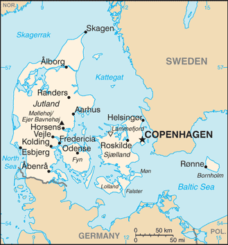
P.S. I also think that duplicating information like admin_level inside a
way and in a relation is a bad practice. I think it came about due to the
limitations in the viewing software, and should be solved with proper tools
(web site, josm, iD, etc), rather than having dups that often go out of
sync.

On Mon, Mar 12, 2018 at 9:52 AM, Dave F <[email protected]> wrote:

> Yes, but again, irrelevant to this thread.
>
>
> On 12/03/2018 13:44, Jo wrote:
>
> Except of course, when the boundary is disputed, then there might be
> overlap and possibly even holes of no man's land?
>
> Polyglot
>
> 2018-03-12 13:41 GMT+01:00 Dave F <[email protected]>:
>
>> OK, I understand what you're trying to highlight, but don't see it as
>> relevant to this thread.
>> But anyway, the "boundary between two countries" can be distinguished as
>> they'll have two relations with boundary data whereas "the high seas"
>> boundary will only have one.
>>
>> DaveF.
>>
>> On 12/03/2018 00:17, Christoph Hormann wrote:
>>
>>> On Monday 12 March 2018, Dave F wrote:
>>>
>>>> and it would not distinguish between the outer boundaries (towards
>>>>> the high seas)
>>>>> and the boundaries between two countries.
>>>>>
>>>> Unsure what you mean. Could you elaborate, Example?
>>>>
>>>> Sure:
>>>
>>> https://www.openstreetmap.org/way/96104334
>>>
>>> is an outer maritime boundary at 12 mile distance from the baseline
>>> separating the territorial waters from the high seas.
>>>
>>> OTOH
>>>
>>> https://www.openstreetmap.org/way/54749533
>>>
>>> is a maritime boundary between two countries.
>>>
>>> You might say this difference is not of practical importance for data
>>> users but there are for example many maps which generally do not show
>>> the first type of boundary but which do show (at least partly) the
>>> second type of boundary.  Like this:
>>>
>>> http://legacy.lib.utexas.edu/maps/cia16/denmark_sm_2016.gif
>>>
>>> You can of course determine this difference from the spatial
>>> relationship of the boundary relations.
>>>
>>>
>>
>> _______________________________________________
>> Tagging mailing list
>> [email protected]
>> https://lists.openstreetmap.org/listinfo/tagging
>>
>
>
>
> _______________________________________________
> Tagging mailing
> [email protected]https://lists.openstreetmap.org/listinfo/tagging
>
>
>
> _______________________________________________
> Tagging mailing list
> [email protected]
> https://lists.openstreetmap.org/listinfo/tagging
>
>
_______________________________________________
Tagging mailing list
[email protected]
https://lists.openstreetmap.org/listinfo/tagging