I made a trip this past weekend to the KR Gathering in Mount Vernon
IL.  Pre-flight planning showed a great fuel stop at Miami Co airport in
Paola KS.  100LL was $3.10 a gallon versus the $4.28 at my
airport.  Scrolling down the Airnav link also showed a BBQ restaurant on
the field.
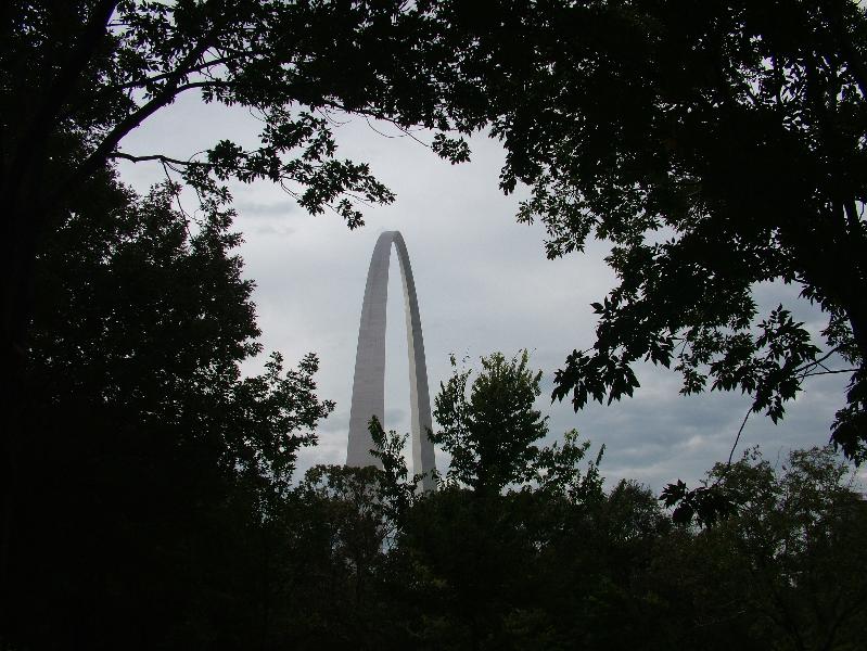
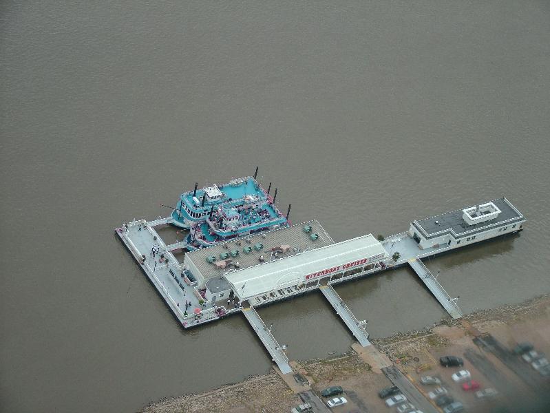
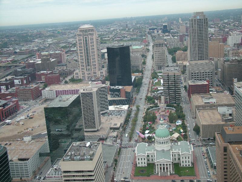
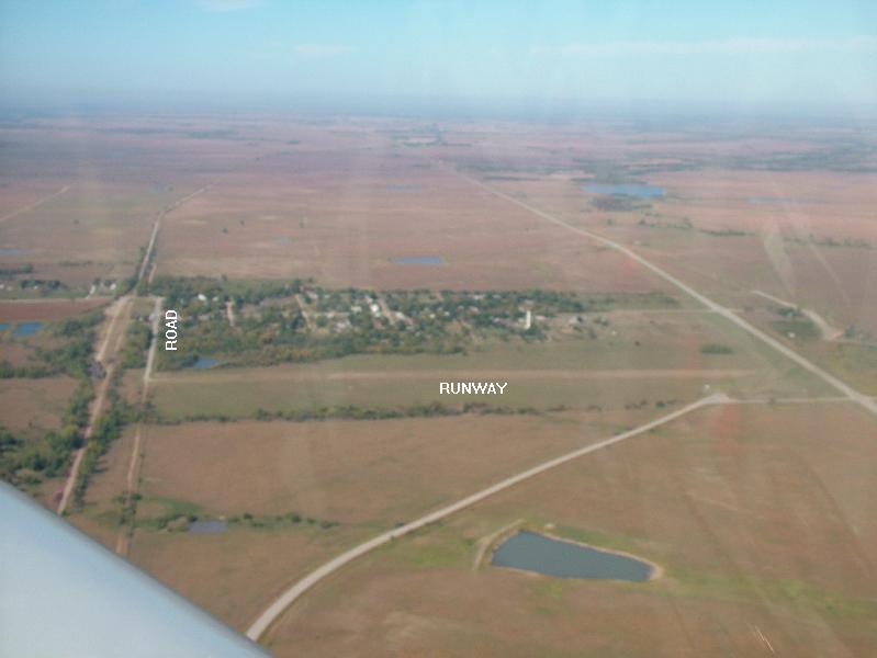
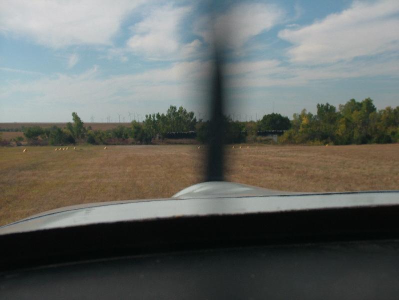
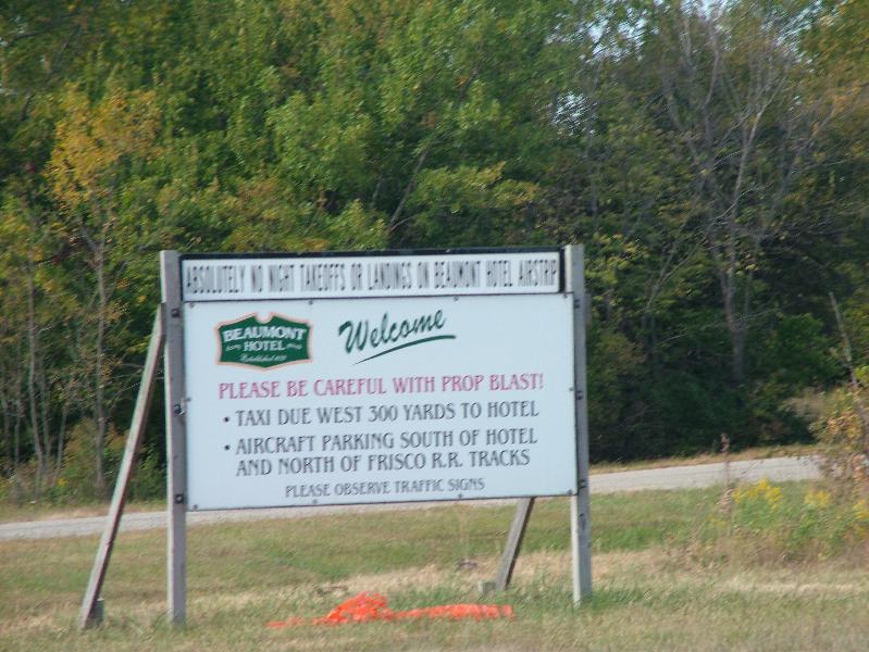
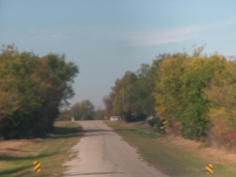
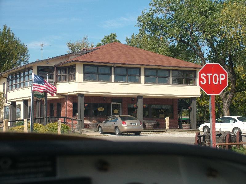
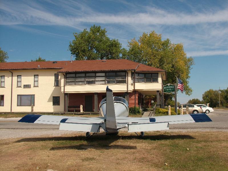
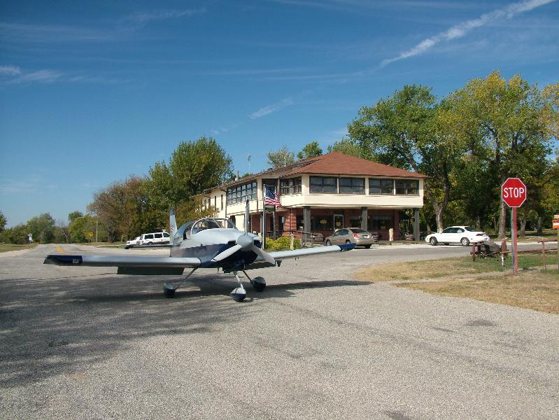
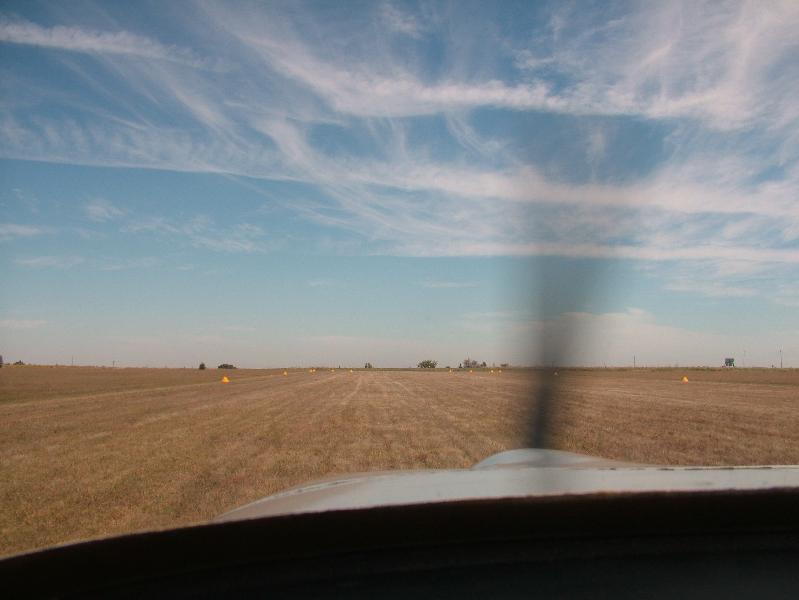
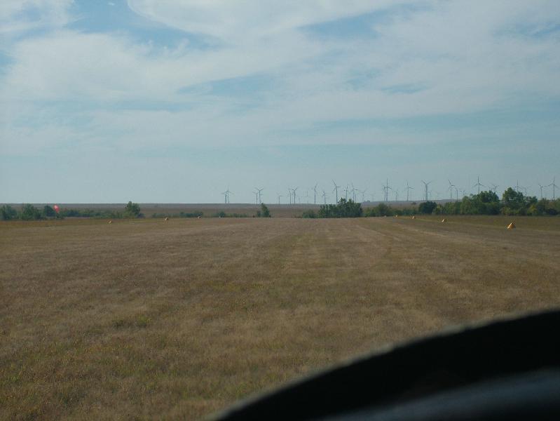
<http://www.airnav.com/airport/K81>http://www.airnav.com/airport/K81 In the aerial shot in the Airnav link the self-serve fuel pump and BBQ restaurant are in the ramp area at the approach end to Runway 3. I got there around noon local time and they were busy. I got the beef brisket, turkey and fries. If I had to do it again I would get two orders of beef brisket and half an order of fries. The fries were enough for three to four people. Several planes left and arrived while I was there so it is a good place to visit. After leaving Miami Co I climbed back to cruise altitude and was soon getting 200 knots groundspeed. As I approached the St Louis area I encountered some light drizzle. Since the outside air temp was around 40 deg F I descended several thousand feet to preclude any possible freezing issues. The area towards St Louis looked like heavier rain whereas my path was VFR. The short distance to Mt Vernon was uneventful and I landed after 5.3 hours of flight time. The next morning was wet looking so I drove up to St Louis to see the Arch. <http://home.pcisys.net/~ronlee/RV6A/Arch3Small.jpg>http://home.pcisys.net/~ronlee/RV6A/Arch3Small.jpg The trip to the top is in small gopher cages that hold five people in an intimate environment. One person in my cage apparently had issues and left before the trip up started. It only takes about four minutes and your only view is of interior structures. Once on top you have windows that face the river and towards town. <http://home.pcisys.net/~ronlee/RV6A/Arch1Small.jpg>http://home.pcisys.net/~ronlee/RV6A/Arch1Small.jpg http://home.pcisys.net/~ronlee/RV6A/Arch2Small.jpg Upon returning to MVN I decided to fly to a few area airports. Initially I was to go to Evansville IN then to KY, TN, AR and MO. However that was soon changed when my fuel flows were higher than my normal cruising altitudes of 11500 13500 feet. So I made a roundtrip to Evansville, refueled and went to Paducah, KY. Both flights were uneventful and afforded me the chance to fly in VFR but less than 100 mile visibility. Sunday started less than ideally when the wakeup call never came. I planned on going to the Beaumont Hotel in Kansas for breakfast but was about ten minutes late. They have a 2600 foot grass strip then you taxi about 300 yards west to the hotel. The hotel website is: <http://www.hotelbeaumontks.com/>http://www.hotelbeaumontks.com/ The Airnav link is: <http://www.airnav.com/airport/SN07>http://www.airnav.com/airport/SN07 This picture shows the runway just this side (east) of the area of trees. Then to the left (south) end of the runway you can see the light colored road that heads west towards the hotel: <http://home.pcisys.net/~ronlee/RV6A/Beaumont1Small.jpg>http://home.pcisys.net/~ronlee/RV6A/Beaumont1Small.jpg The next picture was taken after landing south on the runway: <http://home.pcisys.net/~ronlee/RV6A/Beaumont2Small.jpg>http://home.pcisys.net/~ronlee/RV6A/Beaumont2Small.jpg The next one is a sign to at the south end that gives instructions on getting to the hotel: <http://home.pcisys.net/~ronlee/RV6A/Beaumont3Small.jpg>http://home.pcisys.net/~ronlee/RV6A/Beaumont3Small.jpg The following out of focus picture gives you and idea what to expect after turning west on the road at the south end of the runway: <http://home.pcisys.net/~ronlee/RV6A/Beaumont4Small.jpg>http://home.pcisys.net/~ronlee/RV6A/Beaumont4Small.jpg Here is the stop sign and hotel. The parking area is ahead and to the left. <http://home.pcisys.net/~ronlee/RV6A/Beaumont5Small.jpg>http://home.pcisys.net/~ronlee/RV6A/Beaumont5Small.jpg Here is my plane in the parking area and the hotel: <http://home.pcisys.net/~ronlee/RV6A/Beaumont6Small.jpg>http://home.pcisys.net/~ronlee/RV6A/Beaumont6Small.jpg And this is closer to the stop sign. I pulled the plane here due to large rocks in the parking area. I am not sure what people do for tie downs if they stay there. Personally I would prefer an asphalt area that does not slope down away from the road. <http://home.pcisys.net/~ronlee/RV6A/Beaumont7Small.jpg>http://home.pcisys.net/~ronlee/RV6A/Beaumont7Small.jpg The following picture is on the runway facing north: <http://home.pcisys.net/~ronlee/RV6A/Beaumont8Small.jpg>http://home.pcisys.net/~ronlee/RV6A/Beaumont8Small.jpg This one is facing south from the north end of the runway. You can see some of the many windmills that are south of the field. <http://home.pcisys.net/~ronlee/RV6A/Beaumont9Small.jpg>http://home.pcisys.net/~ronlee/RV6A/Beaumont9Small.jpg I used perhaps half of the runway then went west to Benton airpark (1K1) for $3.30 fuel. The rest of the flight home was uneventful but due to some headwind took 6.1 hours total. Overall a nice trip. Notable events include the furthest trip east yet in my RV-6A, first time in precipitation, first time on a grass strip, and re-familiarization of what happens when the mixture knob is all the way in. Larry and Chris did a great job. The planning and execution appeared flawless.