Hi Devs,

Given
- an image/raster file  (from one webservice (IIIF service))
- some gcp's (from another webservice (allmaps.org)
I found out (using some scripting) it is doable to 'warp' the original image
(and load in QGIS).
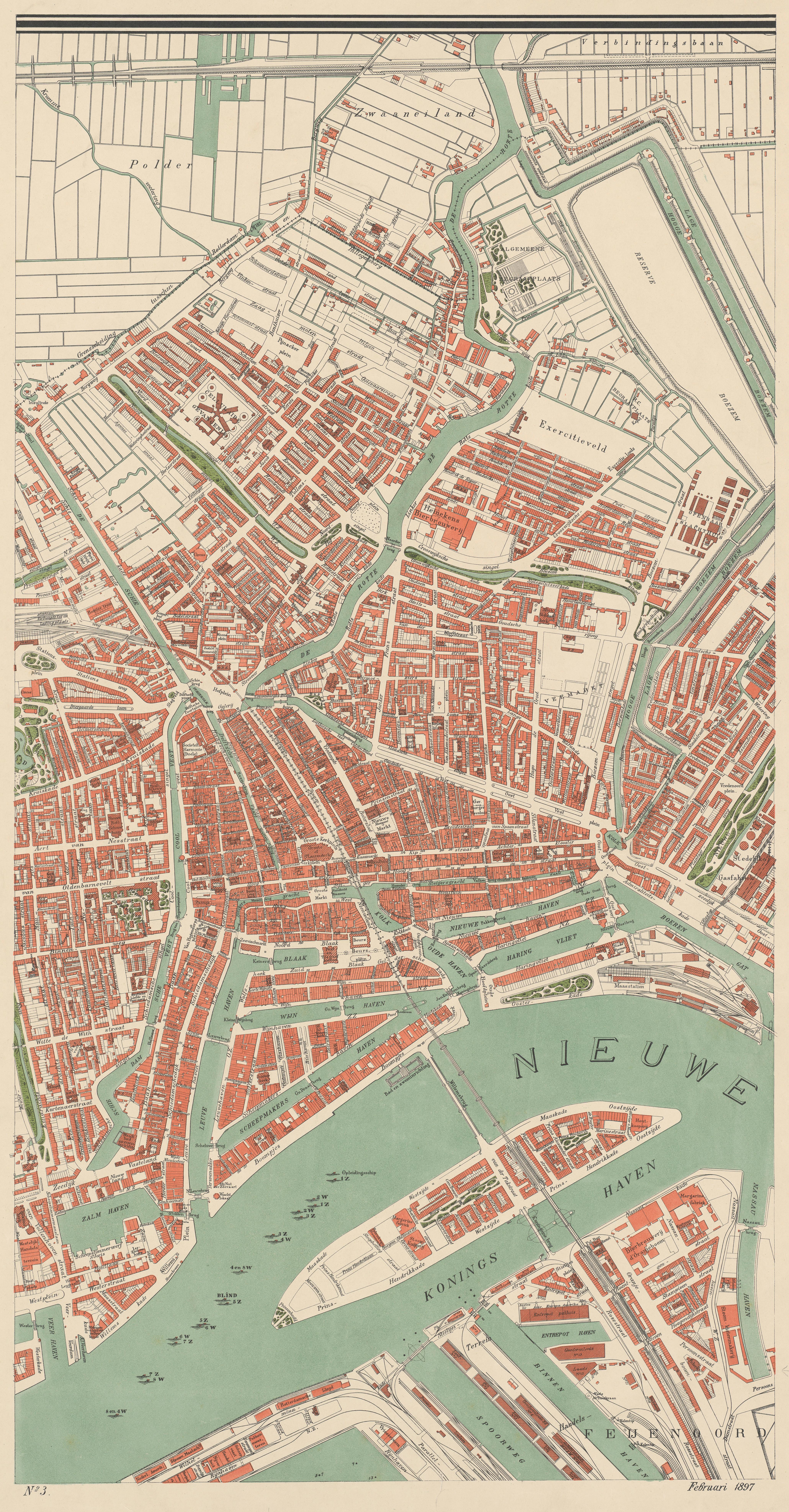
The allmaps.org service (providing georef 'annotions'), also provides a
'selector/SvgSelector' being something like:

'<svg width="4121" height="7900"><polygon points="85,174 4053,178 4046,7729 77,7753"
/></svg>'

Anybody a good idea what would be the easiest way to use that polygon (in
'pixel'-space) as a mask in my python warp script?


My final goal would be a QGIS plugin to 'easily' just pull the (at first the
full) image from the IIIF service, warp it and load it in QGIS.


Some context / examples:

This is an IIIF manifest (of a serie of maps)

https://sammeltassen.nl/iiif-manifests/stadsarchief-rotterdam/NL-RtSA_4201_I-118.json

This is one of the maps:

https://sammeltassen.nl/iiif-images/stadsarchief-rotterdam/NL-RtSA_4201_I-118-3/full/full/0/default.jpg

After georeferencing in AllMaps.org, the site provides an 'Annotations'
manifest:

https://annotations.allmaps.org/manifests/631b96e4d6d3f421

(providing a link to the original resource/image, the gcp's and the mask svg)


Thanks for any idea's

Regards,

Richard Duivenvoorde


_______________________________________________
gdal-dev mailing list
gdal-dev@lists.osgeo.org
https://lists.osgeo.org/mailman/listinfo/gdal-dev