I the first step you are a_ssigning moll but with a longlat ullr (extent )
a_ssigned.
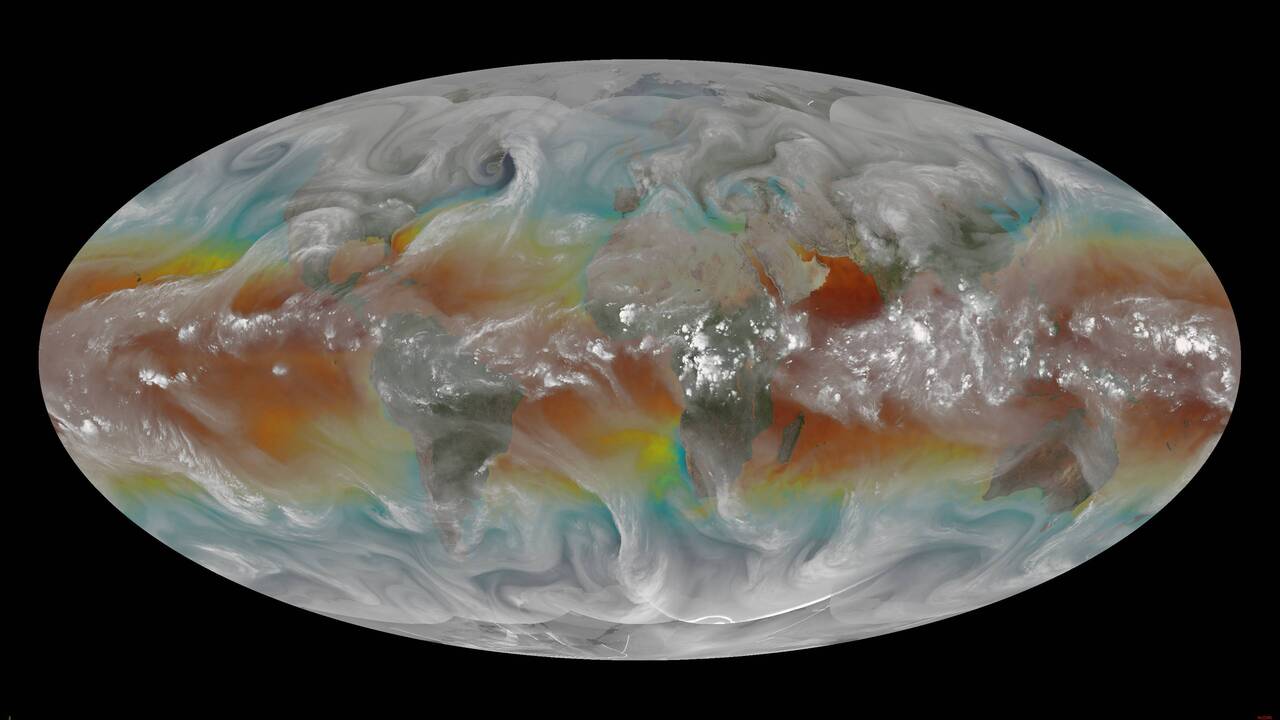
This isn't correct, the numbers will need to be something like -A A/2 A
-A/2 where A is something like pi * radius i.e pi * 6378137

Your source might have this information stored somewhere, or a guess and a
prayer can sometimes suffice.

Cheers, Mike

On Tue, 29 Oct 2024, 07:52 Rick Kohrs via gdal-dev, <
gdal-dev@lists.osgeo.org> wrote:

> I have full earth mollweide projected images:
>
> https://www.ssec.wisc.edu/~rickk/wvsst/latest.jpg
>
> and need to reproject the image into plate_carree
>
> I have the following script:
> gdal_translate -of GTiff -a_srs "+proj=moll +lon_0=0 +datum=WGS84" -a_ullr
> -180 90 180 -90 global-wvsst_24291_1800.jpg
> intermediate_mollweide_georef.tif
> gdal_edit.py -tr 0.1 -0.1 intermediate_mollweide_georef.tif
> gdalinfo intermediate_mollweide_georef.tif
> gdalwarp -t_srs "EPSG:4326" -r bilinear intermediate_mollweide_georef.tif
> final_output_plate_carree.tif
> gdalinfo final_output_plate_carree.tif
>
> The results are still in a mollweide projection.  Any assistance would be
> greatly appreciated.
>
> Rick
>
> _______________________________________________
> gdal-dev mailing list
> gdal-dev@lists.osgeo.org
> https://lists.osgeo.org/mailman/listinfo/gdal-dev
>
_______________________________________________
gdal-dev mailing list
gdal-dev@lists.osgeo.org
https://lists.osgeo.org/mailman/listinfo/gdal-dev